|
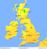
 Thursday Thursday
A chilly day for Thursday is a stiff northwesterly wind. There will be some showers, these tending to move south trough the UK in bands. A risk of some more persistent showers in northern and western Scotland where they will merge into longer periods of rain too. Sunny spells between the showers for most, the best of the sunshine in southern England and central and southern parts of Ireland. Gales in northern Scotland. Highs at 12 to 18C.
 Thursday Night Thursday Night
A breezy and cool night with further showers, mainly in northern and eastern areas. A few of the showers could be heavy. Drier to the west and south but still breezy. Little change is expected during the night. Lows at 5 to 8C.
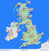 Friday Friday
Low pressure is to the east on Friday with high pressure to the west. There will be a cool northerly airflow affecting all areas. Sunny spells and showers are going to be likely in many areas with most around western, northern and eastern hills and coasts. Once again, there will be little change through the day. Highs at 11 to 16C.
 Saturday Saturday
Low pressure is to the east of the UK on Saturday. A cool and showery pattern is likely to continue thanks to the northerly winds. Locally, rain may be frequent as showers form into bands around coasts, especially in the east. Some places may escape completely dry with sunshine, more likely in parts of Ireland and western Scotland. Highs 12 to 16C.
|
