|
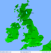
 Monday Monday
Showery in most western regions, most frequent near coasts, with snow often falling to low levels. Hail and isolated thunder possible, although intensity of showers tending to ease. A scattering of brief showers will drift eastwards, but central and eastern regions will be often dry good amounts of bright sunshine. Rain moves into western Ireland later. Feeling chilly in the breeze, west later southwesterly. Highs 3 to 5C north & west, up to 6 or 7C in the south-east.
 Monday night Monday night
A front moves in from the Atlantic, with rain spreading across Ireland before midnight, falling as snow over higher ground, perhaps to lower levels for a time. Winds will strengthen to gale force around west & southern coasts of Britain. Before dawn, snow and rain will become extensive across western Britain - widely heavy snow over the hills, mostly rain or sleet below 200m, but a chance of snow for a time. Temperatures -1 to 2C, or a little higher on southern coasts.
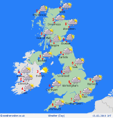 Tuesday Tuesday
A frontal system passes eastwards through the day. A period of heavy rain and extensive hill snow. A risk of snow to lower levels in northern England & Scotland. Brisk southerly winds ahead of the front, gales around coasts, then turning westerly. Brighter skies developing from the west, but heavy snow and hail showers follow into the north-west. Temperatures 1 to 3C in the north, around 5C for the Midlands, up to 7C in the far south.
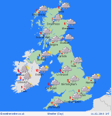 Wednesday Wednesday
Low pressure over the Atlantic pushes further fronts north & east across the British Isles. Widespread rain, heavy for a few hours, particularly western areas. Snow on the leading edge of this system for northern areas, but likely becoming confined to the hills as temperatures rise. South to southwesterly winds, locally up to gale force around coasts. Temperatures 2 to 5C north, climbing to 7 to 10C south, mildest south-west.
|
